
Puglia forms the heel of the Italian boot, at the country’s southeastern tip, between the Adriatic and Ionian Seas. This position explains both its climate, its unique light, and the diversity of its landscapes, from the Gargano massif in the north to the very end of Salento, just a few dozen kilometers from the Albanian and Greek coasts. This guide covers the region’s geography: its exact location, its provinces, its two seas, and its main areas for planning an itinerary.
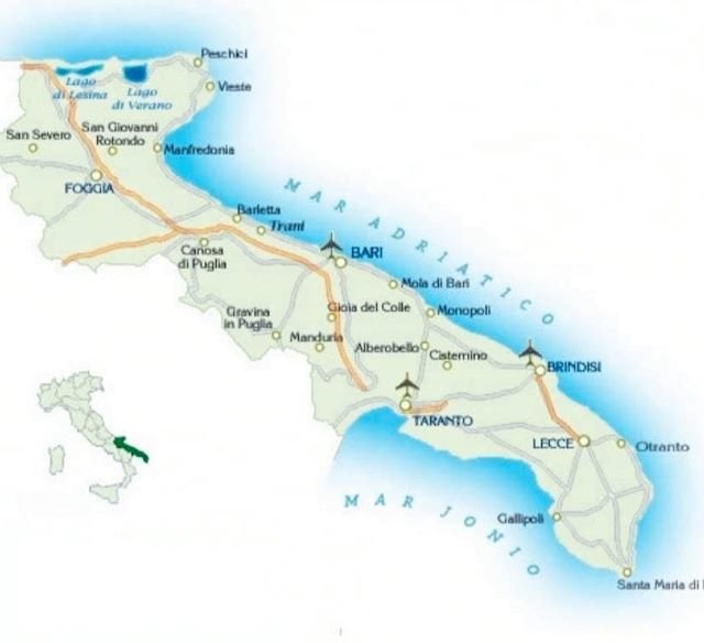
- Location: the heel of the Italian boot, between the Adriatic Sea (east) and the Ionian Sea (southwest).
- Six provinces: Bari, Foggia, Barletta-Andria-Trani (BAT), Taranto, Brindisi, and Lecce.
- For a first stay: the essentials are concentrated between Bari, Brindisi, and Lecce.
- Key distances: Bari → Alberobello ~1h, Bari → Lecce ~1h30, Bari → Gargano ~2h30.
- To remember: the region appears compact on a map, but it’s better to choose one or two areas rather than trying to cover everything in a short stay.
Where Puglia is located on the map of Italy
Puglia (Puglia in Italian) occupies the southeastern tip of the Italian peninsula, along the Adriatic Sea. The region stretches over 400 km in length, from the Gargano promontory in the north to the tip of Salento in the south, making it one of Italy’s longest regions. It borders Molise to the north, Campania and Basilicata to the west, and ends in a point facing the Ionian Sea and the Strait of Otranto. In Otranto, specifically, the Albanian coast is only about 80 km away, making it the closest point to the Balkan peninsula in mainland Italy.
With an area of approximately 19,350 km² and just over 3.9 million inhabitants, Puglia is one of Italy’s flattest regions: more than half of the territory is flat, the rest is hilly, and there are very few mountainous reliefs (the highest point, Monte Cornacchia, does not exceed 1,150 m). This moderate terrain makes the region particularly pleasant to explore by car.
The six provinces of Puglia
Administratively, the region is divided into six provinces, each organized around a main city:
| Province | Main City | Tourist Interest |
|---|---|---|
| Bari | Bari (regional capital) | Bari Vecchia, main airport, proximity to Itria Valley |
| Foggia | Foggia | Gargano, Tremiti Islands, Tavoliere |
| Barletta-Andria-Trani (BAT) | Barletta, Andria, Trani | Trani Cathedral, Swabian castles |
| Taranto | Taranto | Gulf of Taranto, Ionian Sea |
| Brindisi | Brindisi | Salento Airport, Ostuni |
| Lecce | Lecce | Lecce Baroque, Salento, Otranto, Gallipoli |
For a first stay, most visits are concentrated between the provinces of Bari, Brindisi, and Lecce, where most of the most sought-after villages, beaches, and masserias are located (see our guide on where to stay in Puglia).
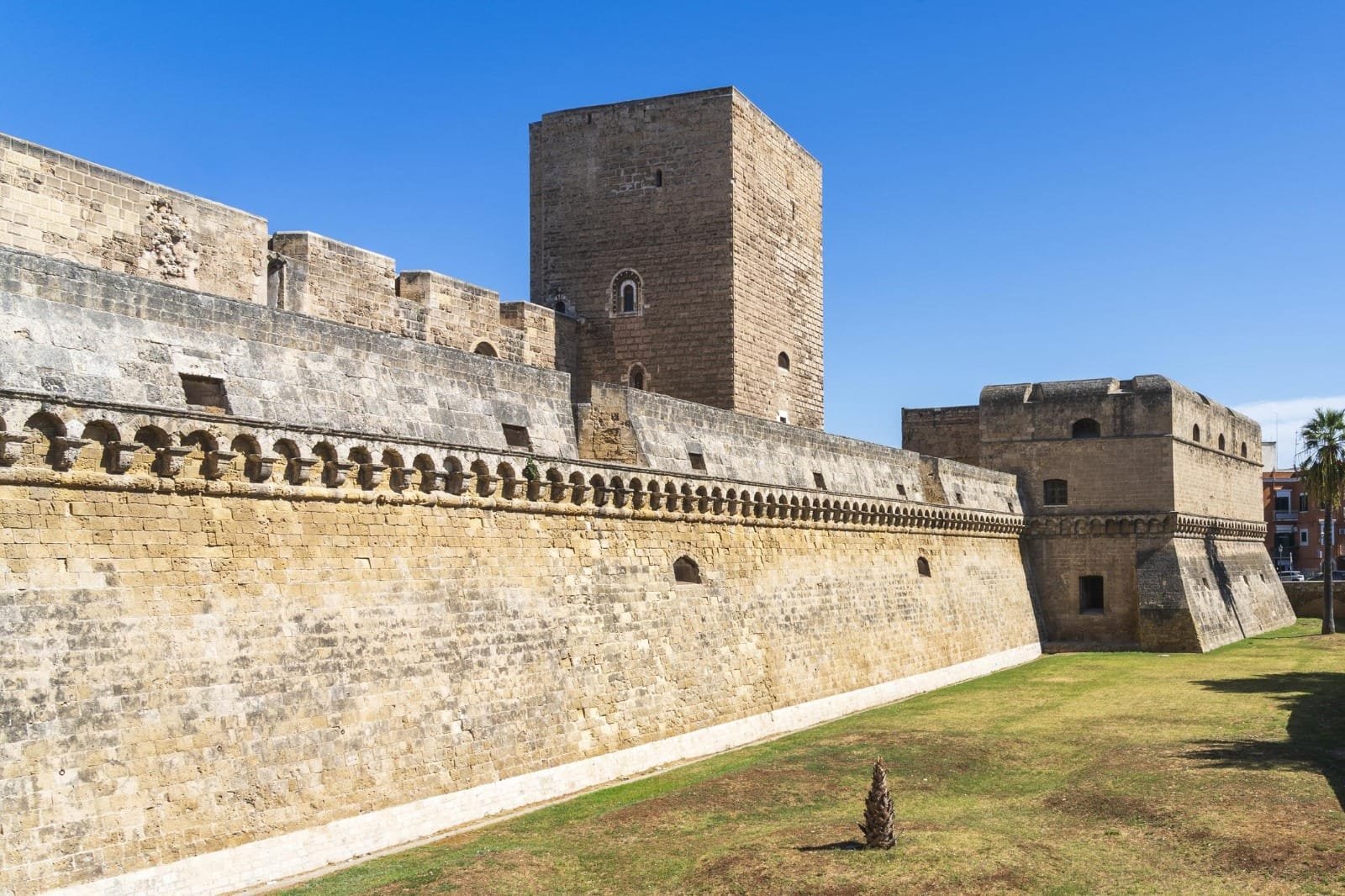
Bari
The regional capital, between old town and main airport.
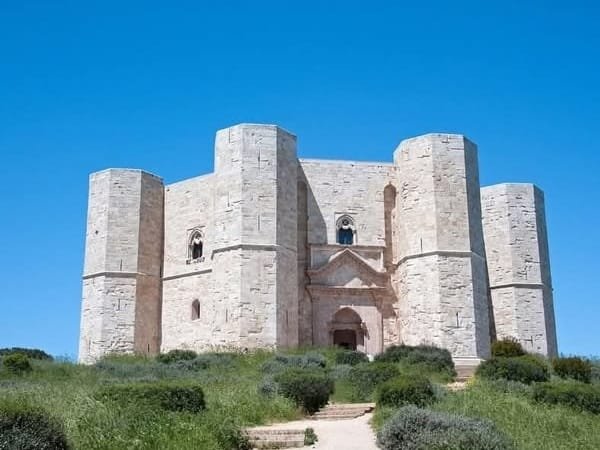
Barletta-Andria-Trani
Recent province, with Castel del Monte and the Romanesque cathedrals of the coast.
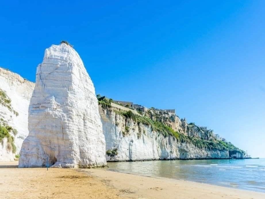
Foggia
The largest province, encompassing the entire Gargano promontory.
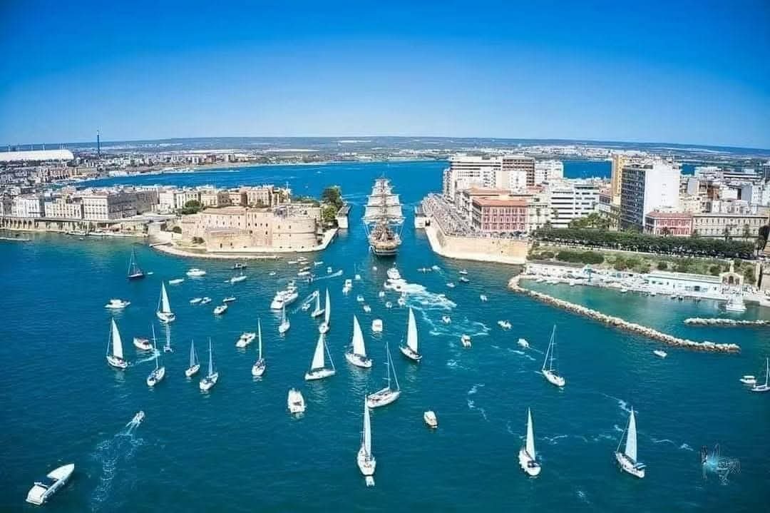
Taranto
City of the two seas, at the gates of Basilicata.

Brindisi
The great historic port, at the entrance to Salento.

Lecce
The capital of Baroque, in the far south, between two seas.
A region between two seas
Another unique feature of Puglia: the region is bordered by two different seas, with over 800 km of coastline in total. To the east and north, the Adriatic Sea runs along Gargano, the Bari coast (Polignano a Mare, Monopoli) and extends up to Otranto. To the west and south, the Ionian Sea borders the Gulf of Taranto and part of Salento, with waters generally calmer and warmer than on the Adriatic side. This dual maritime facade explains the diversity of the region’s beaches, from the rocky coves of Gargano to the long sandy beaches of Ionian Salento (see our guide to Puglia’s most beautiful beaches).
The main areas for organizing your trip
Beyond administrative divisions, travelers generally organize their stay around four main geographical areas:
- The Gargano, in the north: a mountainous and wooded promontory, with the Umbra Forest, Lakes Lesina and Varano, and the Tremiti Islands offshore.
- Bari and its surroundings, in the central-north: the regional capital, its airport, and the coast between Polignano a Mare and Monopoli.
- The Itria Valley, in the center: Alberobello and its trulli, Locorotondo, Cisternino, Martina Franca, Ostuni (see our guide to Puglia’s most beautiful villages).
- Salento, in the south: Lecce, Otranto, Gallipoli and their beaches, down to the extreme tip of Italy at Santa Maria di Leuca.
Most itineraries combine two or three of these areas rather than the entire region in one go (see our 7-day itinerary as an example).
Some distance markers
Distances between major areas give an idea of the travel time to expect:
| Route | Approximate Distance | Travel Time |
|---|---|---|
| Bari → Alberobello (Itria Valley) | ~55 km | ~1h |
| Bari → Ostuni | ~95 km | ~1h15 |
| Bari → Lecce | ~130 km | ~1h30 |
| Bari → Otranto | ~155 km | ~2h |
| Bari → Gargano (Vieste) | ~180 km | ~2h30 |
| Lecce → Gallipoli | ~40 km | ~45 min |
These distances confirm what we regularly point out: Puglia appears compact on a map, but covering the entire region in a single short stay remains ambitious. It’s better to choose one or two areas and enjoy them fully.
Frequently asked questions
Is Puglia in Sicily?
No, they are two distinct regions. Puglia occupies the heel of the Italian boot, in the southeast of the country, while Sicily is a separate island, at the southwestern tip, beyond Calabria.
What is the largest city in Puglia?
Bari, the regional capital, with approximately 315,000 inhabitants. Followed by Taranto, Foggia, Lecce, and Brindisi.
Is Puglia close to Greece or Albania?
Yes, relatively: from Otranto, at the tip of Salento, the Albanian coast is only about 80 km away, making it the closest point in mainland Italy to the Balkans.
How long does it take to cross Puglia from north to south?
Allow approximately 4 to 5 hours of driving between northern Gargano and the southern tip of Salento (Santa Maria di Leuca), without stops.
Explore Puglia zone by zone with APULIA
In summary
Puglia occupies the heel of the Italian boot, between the Adriatic and Ionian Seas, stretching over 400 km from Gargano to Salento. The region is divided into six provinces (Bari, Foggia, BAT, Taranto, Brindisi, Lecce), but travelers most often organize their trip around four main areas: Gargano, Bari and its surroundings, Itria Valley, and Salento. This allows for building a realistic itinerary, rather than trying to see everything in a single visit.