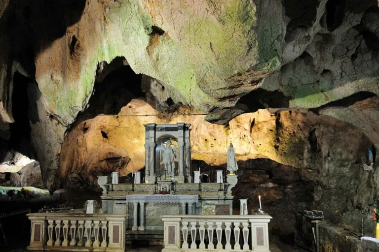
Monte Sant'Angelo and the Sanctuary of St Michael.
With a licensed guide just for your group, start at the castle of Monte Sant'Angelo, seen...
Dès 260€ Réserver

Ajoute tes favoris et construis ton itinéraire avec APULIA.
Créer mon séjour
With a licensed guide just for your group, start at the castle of Monte Sant'Angelo, seen...
Dès 260€ Réserver
With a licensed guide just for your group, follow the life of Saint Pio, the Capuchin...
Dès 250€ Réserver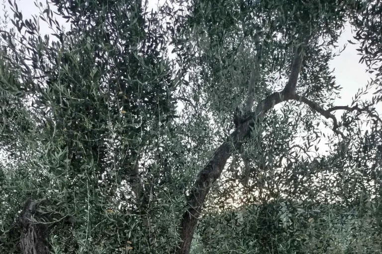
A Gargano farming family opens up their farm, where they have cared for monumental olive trees...
Dès 5€ Réserver
The producer at Cantine Merinum welcomes you near Vieste to show you around his estate. You...
Dès 35€ Réserver
Board a brand-new boat with a skipper in Vieste for 3h30 along the Gargano's south coast....
Dès 60€ Réserver
Leave the port of Vieste aboard a gozzo, the traditional wooden boat, for 4 hours along...
Dès 70€ Réserver
Leave the port of Vieste on a modern boat with your own captain for 4 hours...
Dès 158€ Réserver
Set off by quad with a specialist guide to explore the Gargano differently, along the tratturi,...
Dès 175€ Réserver
Hire a brand-new boat just for your group, with a skipper, from the port of Vieste....
Dès 158€ Réserver
Between Barletta and Andria, Tatiana, the Vallarella mill's sommelier, takes you among centuries-old olive trees and...
Dès 45€ Réserver
A port town in the province of Foggia, Manfredonia sits below the Gargano, on the gulf...
DÉCOUVRIR ›
Monte Sant’Angelo, a hilltop village in the Gargano above the Gulf of Manfredonia, lives around a...
DÉCOUVRIR ›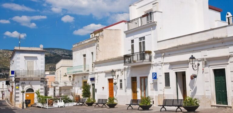
On the southern coast of the Gargano, facing the Gulf of Manfredonia, Mattinata is a small...
DÉCOUVRIR ›
Mattinata’s main beach is a long stretch of pale pebbles along the town’s coastal plain, on...
DÉCOUVRIR ›
A pilgrimage town in the heart of the Gargano, San Giovanni Rotondo lies at around 600...
DÉCOUVRIR ›
A beach of pebbles and gravel on the Mattinata coast, the Baia di Mattinatella lies in...
DÉCOUVRIR ›
The Baia delle Zagare is a bay on the Gargano coast, in the municipality of Mattinata,...
DÉCOUVRIR ›
An olive-growing village in the north of the Gargano, Carpino spreads over the hill of Pastromele,...
DÉCOUVRIR ›
In the centre-east of the Gargano, at around 800 metres above sea level, lies the Foresta...
DÉCOUVRIR ›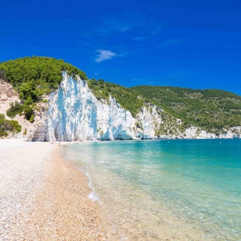
Where a limestone gorge meets the sea, between Mattinata and Vieste, Vignanotica is a white-pebble beach...
DÉCOUVRIR ›
The village of Cagnano Varano clings to a hillside 165 metres up, in the north of...
DÉCOUVRIR ›
Perched at 314 metres on the northern slope of the Gargano, the village of Ischitella looks...
DÉCOUVRIR ›